The history of Arctic cartography reflects the evolution of knowledge about the Arctic region from ancient times through the Age of Exploration and ultimately modern mapping techniques. In the period of Classical Antiquity, early maps from the Greeks and Romans reflected minimal knowledge of the Arctic, often depicting it as a fanciful, unknown land (for example, the concept of a “Terra Incognita”). This was followed in medieval European maps, such as the Mappa Mundi, which incorporated mythical elements along with known geography, reflecting the still-limited exploration of northern latitudes. The situation changed in the 16th century when medieval maps like Nicolo Canerio’s of 1503-1505 began to incorporate knowledge of Portuguese and Spanish discoveries in the Americas. Vikings did not make maps, but their information from the Norse sagas began to be illustrated in the Stefansson (Skalholt) Map of 1570.
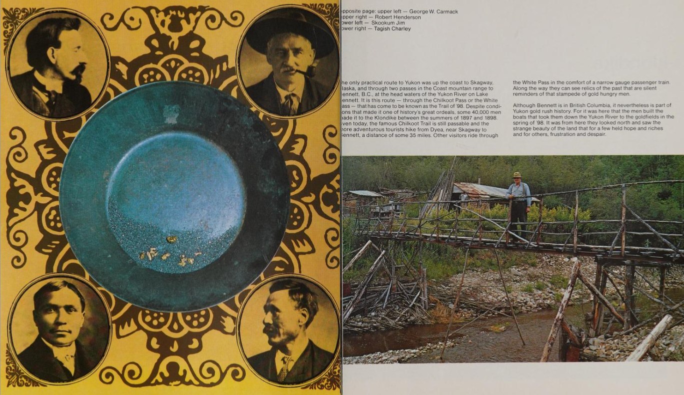
By 1507, Martin Waldseemüller began to show a more accurate depiction of the Arctic, though still limited in scope, particularly in his famous world map (1507). In the North Pacific, the voyages of Vitus Bering and Alexei Chirikov (1728), Bering and Chirikov (1741), James Cook (1778), Joseph Billings (1789-92), and Iurii Lisianski (1804) provided valuable specific information about the North Pacific in the 18th century. By the 19th century, Arctic cartography began to improve significantly. The expeditions of John Franklin and others following him in search of the Northwest Passage resulted in improved maps of the Canadian Arctic. Numerous subsequent expeditions, including those of Fridtjof Nansen and Robert Peary, that aimed to reach the North Pole led to significant further knowledge about Arctic geography.
Technological advances in the 20th century brought rapid improvements to mapping the Arctic. The introduction of aerial surveys during and after World War II allowed more precise mapping of the Arctic. Then the use of satellites from the 1970s onwards revolutionized Arctic cartography, providing detailed images and geographical data that improved understanding of changes in ice cover and geography. Geographical Information Systems (GIS) and related modern technology has allowed the integration of various data sources (like climate and topography, etc.) into comprehensive maps that aid in research, navigation, and policymaking. Current Arctic maps often emphasize the impacts of climate change, such as retreating ice coverage and its implications for Arctic Ocean Sea travel, global sea levels, and ecosystems.
The history of Arctic cartography illustrates humanity’s quest to understand a remote and challenging landscape, reflecting both the evolution of scientific knowledge and cultural perceptions of the Arctic. Increasing recognition of indigenous peoples’ maps and traditional ecological knowledge plays a vital role in contemporary Arctic studies. Mapping the Arctic involves not only geographical features but also political and economic interests related to resource exploration and territorial claims. Ongoing changes in this region, particularly due to climate change, make it crucial for modern cartography and research.

Continue scrolling down to view curated collections that have been identified as related to the topic you are currently exploring or navigate to an additional topic for further relevant content.
The Circumpolar Navigator project acknowledges the existence of harmful content in many publications and historical materials within this initiative. We recognize the potentially painful heritage of some of our collections and seek to address its impact on research and culture today.
The Circumpolar Navigator project aims to bring together Arctic and sub-Arctic collections from a wide range of northern heritage materials that will provide access for modern researchers to previously hidden sources of information that can offer data and insights on multiple subjects.